
We see the headlines every single week. Coast guard vessels ramming each other on the open water. Sailors clashing with wooden batons. Politicians trading aggressive threats over ocean reefs you can barely spot on a map.
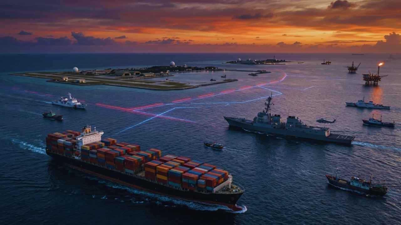
Why are the world’s superpowers risking a major war over scattered rocks? Money, power, and basic survival. This is not a localized, isolated squabble. According to the Center for Strategic and International Studies, $6.4 trillion in commercial goods passed through the South China Sea in 2024 alone. That massive figure represents over 21 percent of all global maritime trade. If this shipping lane shuts down tomorrow, the global economy stops breathing. Supply chains collapse overnight, and the everyday goods you rely on skyrocket in price.
Having the South China Sea dispute explained is the only way to understand where global politics is heading next. It remains the defining flashpoint of our generation. Let’s break down exactly what is happening on the water, who wants what, and why it matters directly to you.
Why Are We Even Talking About This?
Forget the politics for a second and look at the sheer geography. The South China Sea stretches from the Strait of Malacca all the way up to the Taiwan Strait. It borders rapidly growing economies that desperately need resources to survive and expand. What lies beneath the surface makes this specific body of water incredibly valuable to everyone involved. The U.S. Energy Information Administration estimates that 11 billion barrels of oil and 190 trillion cubic feet of natural gas sit in proved and probable reserves right under the sea floor.
For hungry Asian economies, tapping into these offshore energy reserves is a strict matter of national security and economic survival. Beyond fossil fuels, we need to talk about food security. This specific body of water accounts for 12 percent of the entire global fishing catch. Millions of people in Southeast Asia rely directly on these waters for daily protein and their livelihoods. As coastal waters get severely overfished, massive commercial fleets push further out into disputed territory to cast their nets.
They do not go alone, either. Armed coast guard vessels routinely escort these fleets to defend their massive hauls. Combine vast energy reserves, the world’s busiest shipping routes, and major food sources, and you get a clear recipe for unyielding tension.
Read Also: How the United Nations Actually Works?
|
Resource Category |
The Hard Numbers |
Why It Matters To The World |
|
Maritime Trade |
$6.4 trillion annually |
Over 21 percent of global maritime shipping runs through these straits. |
|
Natural Gas |
190 trillion cubic feet |
Massive energy source for hungry Asian economies. |
|
Oil Reserves |
11 billion barrels |
Drives intense national security and offshore drilling interests. |
|
Fisheries |
12 percent of global catch |
Feeds millions, a requirement for regional food security and survival. |
The Core Problem: South China Sea Dispute Explained
To get the South China Sea dispute explained properly, you have to look at an old map from right after World War II. The Chinese nationalist government drew an eleven-dash line on a map to claim almost the entire sea. After the Chinese Communist Party took over in 1949, they dropped two dashes to give the Gulf of Tonkin to Vietnam to show early communist solidarity.
This cartographic move created the infamous Nine-Dash Line. Beijing uses this specific boundary today to claim historic rights to roughly 90 percent of the South China Sea. Here is the massive legal problem. Modern international law does not care about historic dashes drawn on an old map. The United Nations Convention on the Law of the Sea, known as UNCLOS, sets clear, globally accepted rules for maritime borders.
Under UNCLOS, a recognized country gets an Exclusive Economic Zone that stretches 200 nautical miles from its coastline. Inside that 200-mile zone, the specific country has the sole, legal right to fish and drill for oil. China’s Nine-Dash Line completely ignores this legal framework. It cuts straight through the internationally recognized zones of the Philippines, Vietnam, Malaysia, and Brunei.
|
Key Timeline Event |
What Actually Happened |
Impact on the Dispute |
|
1947 |
China draws the eleven-dash line on a map. |
Lays the foundation for modern territorial claims. |
|
1953 |
Line drops to nine dashes. |
China hands Gulf of Tonkin to Vietnam. |
|
1969 |
UN reports major oil reserves in the region. |
Skyrockets the financial value of the disputed waters. |
|
1982 |
UNCLOS established internationally. |
Creates the 200-nautical-mile standard, clashing with historic claims. |
Who Wants What? The Key Players
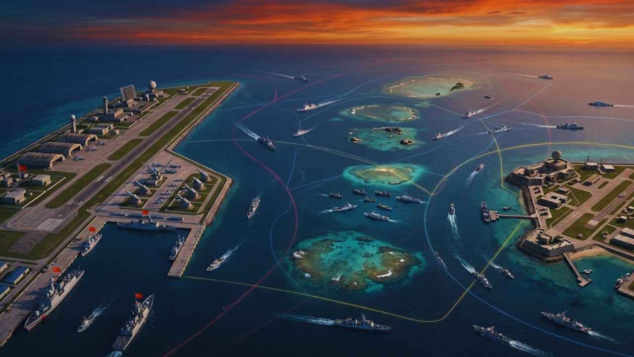 Six different governments currently claim parts or all of the territory. The main physical features everyone fights over are the Spratly Islands and the Paracel Islands. Historically, most of these features were just rocks, coral reefs, or sandbars that vanished entirely at high tide. But if a nation owns the rock, they legally own the water around it. China acts the most aggressively, running massive dredging operations.
By early 2026, Beijing had created approximately 5,460 acres of artificial land, turning fragile coral reefs into heavily militarized bases with active runways and radar stations. Vietnam refuses to back down, claiming the Paracel and Spratly Islands based on centuries of historical administration. Hanoi aggressively expanded its own footprint, reclaiming roughly 2,771 acres of land across the Spratlys by 2026 to fortify its military outposts.
Vietnam added over 534 acres in the past year alone. The Philippines claims the specific parts of the Spratly Islands and Scarborough Shoal that fall strictly within its legal 200-mile zone. Malaysia and Brunei also claim the specific waters and features that fall within their legal borders under international law.
|
Country |
Primary Claim Basis |
Key Contested Areas |
|
China / Taiwan |
Historic “Nine-Dash Line” |
Spratly & Paracel Islands, Scarborough Shoal |
|
Vietnam |
Historical administration |
Paracel & Spratly Islands |
|
Philippines |
UNCLOS 200-mile zone |
Spratly Islands, Scarborough Shoal |
|
Malaysia |
UNCLOS 200-mile zone |
Southern Spratly Islands |
|
Brunei |
UNCLOS 200-mile zone |
Small section of the southern sea |
The 2016 Hague Ruling: A Legal Earthquake
In 2013, the Philippines took decisive legal action against Beijing. Tired of Chinese coast guard ships bullying Filipino fishermen out of their own territorial waters, Manila took China to the Permanent Court of Arbitration in The Hague. In 2016, the tribunal delivered a massive, historic ruling that overwhelmingly sided with the Philippines. The international court declared China’s Nine-Dash Line had absolutely no legal basis under international law.
They also ruled that none of the features in the Spratly Islands were legally considered actual islands. Under the United Nations rules, a real island must sustain human habitation or economic life on its own. If it cannot do that naturally, the court considers it just a rock. Rocks do not grant the owner a massive offshore economic zone.
The court also highlighted the severe environmental damage China caused to coral reef environments through its dredging operations. China completely ignored the sweeping ruling. They labeled the decision null and void, refused to participate in the hearings from the start, and simply accelerated their destructive island-building campaigns on the water.
|
The 2016 Ruling Component |
What The International Court Said |
China’s Official Reaction |
|
The Nine-Dash Line |
Invalid. Holds no legal weight under UNCLOS. |
Rejected entirely; labeled “null and void.” |
|
Spratly Features |
Classified as “rocks” or low-tide elevations, not islands. |
Ignored; kept building artificial military bases. |
|
Environmental Damage |
China caused severe, permanent harm to coral reefs. |
Denied all claims of environmental destruction. |
|
Fishing Rights |
China unlawfully blocked Philippine fishermen. |
Continued aggressive coast guard patrols. |
Flashpoints in 2026: Physical Clashes at Sea
The situation on the water escalated significantly over the last few years, moving from diplomatic protests to physical violence. Instead of exchanging angry diplomatic notes, armed forces now physically clash in open water. On July 20, 2026, Chinese Coast Guard personnel wielding wooden batons aggressively attacked Philippine Navy sailors. The violent clash happened near a deliberately beached World War II-era vessel that serves as a Philippine garrison at Second Thomas Shoal, also known as Ayungin Shoal.
The brutal confrontation injured two Filipino personnel who were operating rubber boats. The United States quickly condemned the action as dangerous and aggressive. Washington loudly reminded the world that they maintain an ironclad mutual defense treaty with the Philippines. Following the clash, both the Philippines and China summoned each other’s ambassadors to lodge formal protests.
The Armed Forces of the Philippines firmly rejected Beijing’s narrative that the Filipinos provoked the fight, stating their personnel acted defensively while Chinese vessels aggressively crowded their outpost. This incident shows just how quickly a minor patrol can turn into a geopolitical emergency.
|
2026 Development |
Location / Context |
Real-World Impact |
|
Physical Clashes |
Second Thomas Shoal |
Escalated violence; baton attacks injured naval personnel in July 2026. |
|
U.S. Condemnation |
Diplomatic response |
Spiked military tension between Washington and Beijing. |
|
Diplomatic Fallout |
Manila and Beijing |
Both nations immediately summoned ambassadors to lodge formal protests. |
Why Your Wallet Cares About This Dispute?
You might think you live thousands of miles away and have no reason to care about scattered rocks in Asia. However, your wallet cares deeply about this specific body of water. According to the Center for Strategic and International Studies, nearly $6.4 trillion in commercial goods passed through the major straits of the South China Sea in 2024 alone. That massive figure represents over 21 percent of all global maritime trade.
When you get the south china sea dispute explained in economic terms, the danger becomes incredibly clear. If a shooting war starts and this shipping lane shuts down, the global economy stops breathing. Cargo vessels would have to sail all the way around Australia or take much longer Pacific routes to deliver goods. Financial markets already price these geopolitical risks directly into their forecasting models.
Freight rates on Asian routes frequently spike in response to regional instability. A prolonged conflict would cause massive delays for the energy shipments that fuel heavy industry worldwide. The United States Navy regularly sails warships straight through the area to prove international waters belong to everyone, which constantly risks an accidental firefight.
|
Global Impact Area |
What Happens if a War Starts? |
|
Shipping Costs |
Massive spikes in marine insurance premiums and global freight rates. |
|
Energy Supply |
Blocks to oil and natural gas shipments reaching heavy industry and grids. |
|
Military Tension |
High risk of an accidental firefight between the US and China. |
|
Consumer Prices |
Huge cost increases for imported electronics, cars, and everyday goods. |
Final Thoughts
The oceans connect everything we buy, sell, and consume on a daily basis. What happens off the coast of the Philippines directly impacts the price of gas in Europe and the cost of laptops in North America. Understanding this conflict is not just for politicians or military strategists anymore. Having the South China Sea dispute explained gives you a clear window into how fragile our global supply chain really is today.
It shows you exactly how quickly the entire system could break down. China refuses to back down from its Nine-Dash Line, and neighboring countries refuse to give up their legal rights under international law. With billions of barrels of oil, trillions in trade, and deep national pride on the line, this standoff is not going away. The only question is whether diplomatic efforts can hold the line or if these waters will finally boil over into a global crisis.
Frequently Asked Questions (FAQs) About South China Sea Dispute Explained
What exactly is the Nine-Dash Line, and is it legal?
It is an old map boundary China uses to claim 90 percent of the sea. An international court ruled it entirely illegal in 2016, as modern maritime law bases borders on actual coastlines, not historical maps.
Does the United States claim any territory in the South China Sea?
No, the U.S. claims zero territory in these waters. Washington only patrols the region to protect free global trade routes and honor its mutual defense treaty with the Philippines.
Why are countries building artificial islands?
Nations dump sand onto coral reefs to build unsinkable aircraft carriers. These artificial bases house military runways and radar stations, allowing countries to physically control disputed waters.
Can the United Nations enforce the 2016 Hague ruling?
No. The international court has no military or police force to back up its decisions. It relies entirely on voluntary compliance, and China simply ignored the ruling.
Do normal civilians actually live on these disputed islands?
Very few actual civilians live there. The populations consist almost entirely of active military personnel, government researchers, and state-backed maritime militias posing as ordinary fishermen.